Introduction

“Hearing Arabic in these streets and hearing about the people who lived here gives me double vision,” an Israeli woman told me emphatically. “I grew up in Katamon, and the Palestinian past of this neighborhood was never part of my landscape. I can promise you that I will never walk these streets in the same way!” she proclaimed. The woman was attending a guided walk, one of half-a-dozen public walks I guided or co-guided while doing research for, and production and dissemination of, Jerusalem, We Are Here, an online project designed with Palestinian and international audiences in mind. But as an Israeli engaged with uncovering a buried Palestinian past, I wanted to reach Israeli audiences as well. The engagement in the space had various manifestations, with public guided tours being an evolving core. The design of the tours was organic and intuitive, but my goal was to use them as an experiential and structured vehicle for considering not only the Palestinian past, but also the future, and Israeli responsibilities towards that future.

In a fraught political space with active and continuous forms of erasure and exile, walking, by itself, does not have the capacity to reveal entanglements or remake place. I first started learning the Palestinian history of the neighborhood from Ghada Karmi’s memoir “In Search of Fatima” and Khalil al Sakakini’s diaries. But as I physically walked Katamon, I had no anchors to any of the landmarks mentioned in the books. Even former public institutions do not have plaques identifying them, let alone individual houses. While most Israelis know they are walking in a former middle-class Palestinian neighborhood, the large Israeli flags, welded iron Star of David or Menorahs on gates and fences, and the street names, all work to suppress the Palestinian history. As a tour guide, if I wanted to activate not only an expanded understanding of the past, but also an implied present and imagined future, I would have to first unravel Israelis’ well-knitted narratives. In effect, I was working – gently – to “unsettle” Israelis.

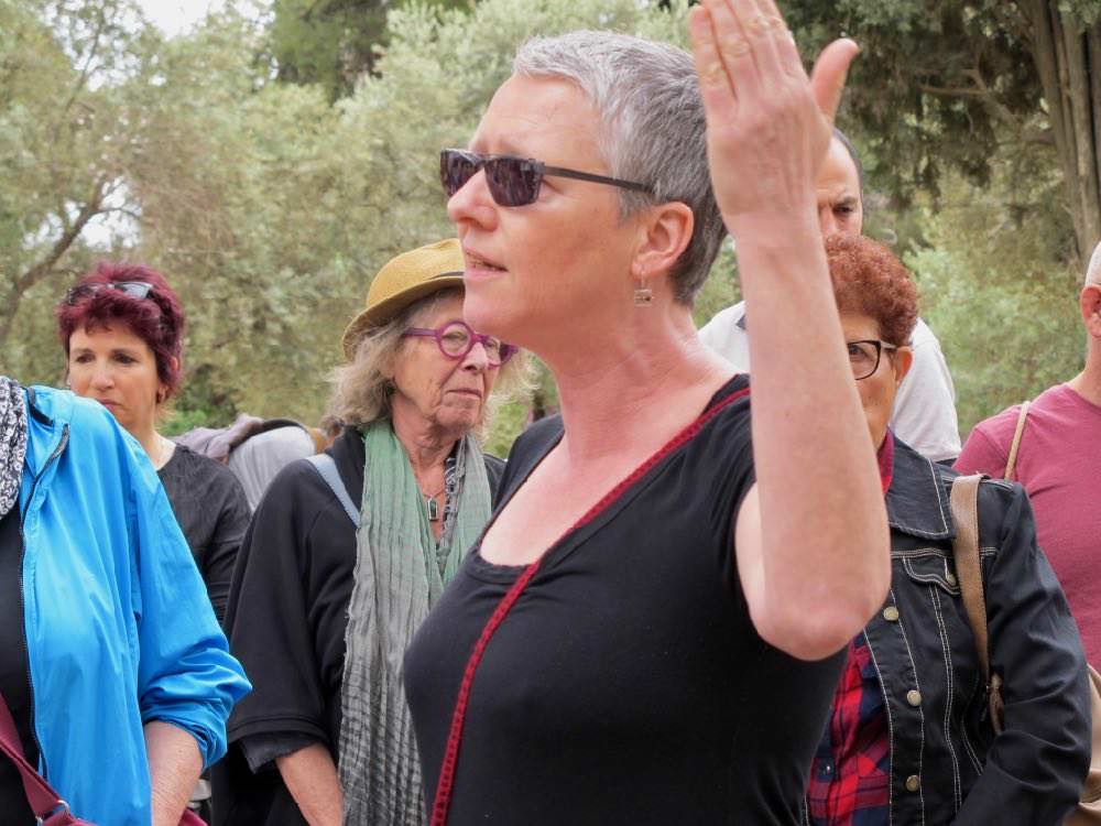
Dorit Naaman in Katamon
Dorit Naaman guiding a tour in Katamon, May 2017
Read more

The junction of Hapalmach and Ha’Gdud Ha’Ivri streets in Jerusalem is unassuming. Hapalmach  — an acronym meaning strike forces/company — is a street named after the elite militant wing of the Haganah, the underground army of the Jewish community in pre-1948 Palestine. Ha’Gdud Ha’Ivri, or the Jewish Legion, was established following the British conquest of Palestine from the Ottomans in World War I, and disbanded in 1921. Like many other streets in Katamon, the names assigned after 1948 commemorate the 1948 war. But the victor did not leave a trace to the horrific events of 17 September 1948. 

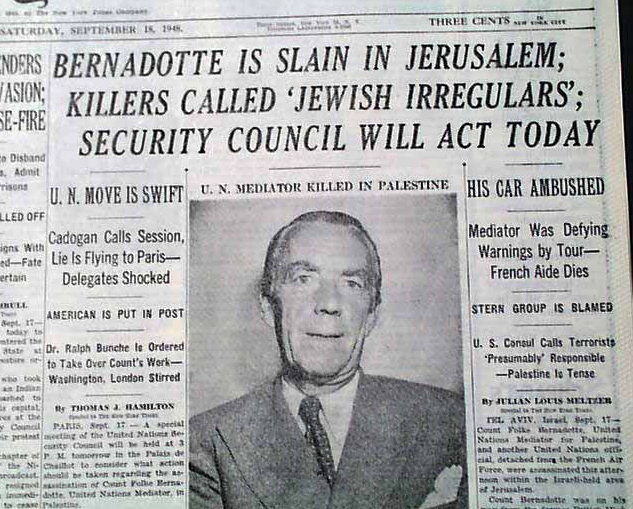
Here, the Stern Gang (a right wing Jewish paramilitary group) ambushed a convoy of vehicles carrying Count Folke Bernadotte, the U.N. Mediator in Palestine, and assassinated him.

Read more

The following was published in The Conversation, “an independent source of news and views from the academic and research community, delivered direct to the public“, on 13 May 2018 and revised on 15 May 2018.

Read more

In 2007 I rented an apartment in Katamon for a six-month sabbatical from my university in Canada. I grew up in a different part of Israeli Jerusalem, but my parents had moved to a new development in Katamon (over the old soccer field), and as I had a one-year old baby, I wanted to be close to them.  When I arrived, I could tell that the house I rented had been built before 1948 in the International architectural style common in the 1930s-40s. The staircase exuded spaciousness, but the apartment itself was small and entirely remodelled. In fact, what was once a two-family duplex, was now subdivided into seven or eight apartments.

I knew very little about Katamon, but I did know that it was Palestinian before 1948. A few years earlier I read Ghada Karmi’s memoir In Search of Fatima and while the book left a deep impression on me, her Katamon and the one I was wandering with a stroller in tow did not quite align.  For one thing, there were no markers for any of the landmarks, such as the Semiramis or Bellevue family-owned hotels, the Lebanese and Iraqi consulates, or the perimeters of security zone A, which the British set up when the “troubles” (to use an imperial euphemism) started. How could I find out where those places were?

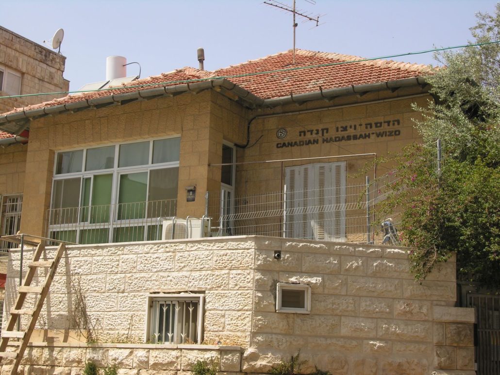
Khalil and Sultana Sakakini’s house
Read more